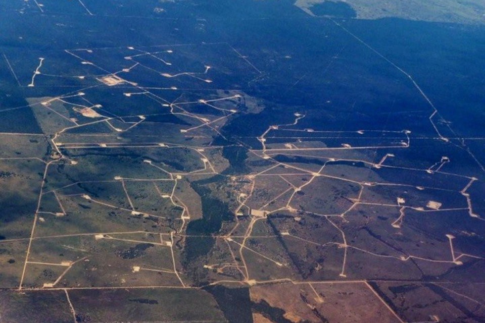
(sources: Appendix C, Caudrilla’s Balcombe planning permission & Cuadrilla’s submission to the Select Committee on Energy and Climate Change)
Earthquake firm Cuadrilla plans to extract gas from Balcombe just 500 feet below the local aquifer.
Drilling documents (see p12 of the pdf) reveal the company plans to test frack at just 1831 feet – 831 feet from the company’s deepest estimate of water supplies. The company says fractures extend up to 300 feet (see 5.6.11 of the document), bringing the gas-bearing cracks to within 531 feet of water sources.
Drilling documents supplied with Caudrilla’s Balcombe planning application show the company intends to test the Portland Beds, 1627 to 1831 feet below the village. Also contained within these documents are the provision to ‘stimulate’ – a euphemism for fracking.
In its submission to the Energy and Climate Change Select Committee in June 2011, the company claimed that fractures caused by fracking extend 200-300 feet from the borehole (others claim they can extend much further).
In the same submission the company estimated that aquifers reside at a maximum depth of 1000 feet.
So 1831-300-1000 = 531 feet below the aquifer.
A key ambition in their submission to parliament was to convince MPs that fracking did not threaten water supplies. Referring to the company’s sites in Lancashire, the company stated: “the shale geological formations where fracing takes place tend to be located at depths of at least 5,000 feet below the surface ” and “there are thousands of feet of impenetrable rock between shallow water aquifers and fractures created by the fracing process.” (see 5.6.11 again)
Not so in Balcombe. With the US EPA recently finding aquifer contamination from a well of similar depth in Pavilion, Wyoming, Cuadrilla’s plans in Balcombe look more and more reckless.


Environmental vandalism like this is a nonsense. Presumably if (or perhaps when) the water supply contaminated, the authorities will all blame each other and the public will suffer.
So much exageration and plain misunderstanding
Why can you let people undertsand whats involved and take away the hyperbole and misinformation
Take the diagram above, it is misleading and your numbers are wrong.
Firstly its not the thickness, its the type of rocks that matter . In this area very impermeable (thats good) , being siltstones, mudstones, shales and even an anhydrite layer.
Secondly the Portland shown in your diagram, would be a sandstone target so that wouldnt need fracking
Thirdly the ashdown beds only go down to 850 feet not 1000ft and they’re not used as an aquifer in this area
Next their drilling documents state its a micrite layer they’re interested in driliing horizontally giving you a further 500 feet of depth.
and thats without pointing out that fracking is currently not even allowed in the UK
Hi Alastair,
All depths and thicknesses in the diagram are sourced from Cuadrilla’s own documents within the planning permission and their submissions to parliament – see the references in the article. That does not constitute hyperbole or misinformation. If you have issues with the particulars we suggest you take it up with the company geologists.
As to the type of rock between fractures and aquifers, as Antony Ingraffea (http://www.time.com/time/specials/packages/article/0,28804,2101745_2102309_2102323,00.html) has pointed out, the behaviour of fractures is unpredictable – always has been. Reducing the ‘buffer’ between fractures and the aquifer, therefore, increases risk. If this shallow frack was risk free why didn’t Cuadrilla mention the Balcombe site details when they presented to parliament?
I also referenced the information from their documents and to be fair I can see why a n0n-geologist would be confused. I repeat their drilling plans state that they will drill horizontally into the J micrite which is a layer in the Kimmeridgian at 2590 feet. Not the Portland (which is at 1627 feet (by the way, you used the base whereas the most likely sealing layer is the anhydrite) . The diagram misinteprets, what is a technical document by 750 feet.
Do your research on youtube see what these parasites are doing in America
Yes like in Blackpool How is life Tony